Chocolate Gulch
Winter Hike
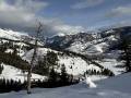
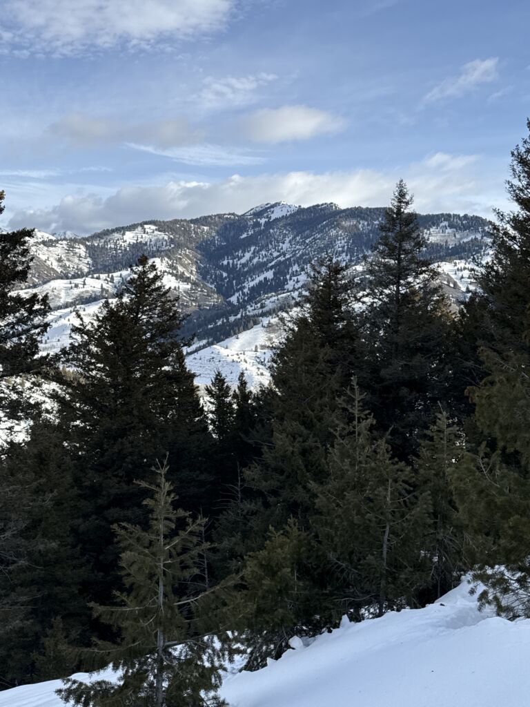
Chocolate Gulch is a standard go-to for Sun Valley locals during all but the snowiest winters. It is favored for its steady but not overwhelming climb, excellent views of the Boulder and Smoky Mountains, and its forested terrain.
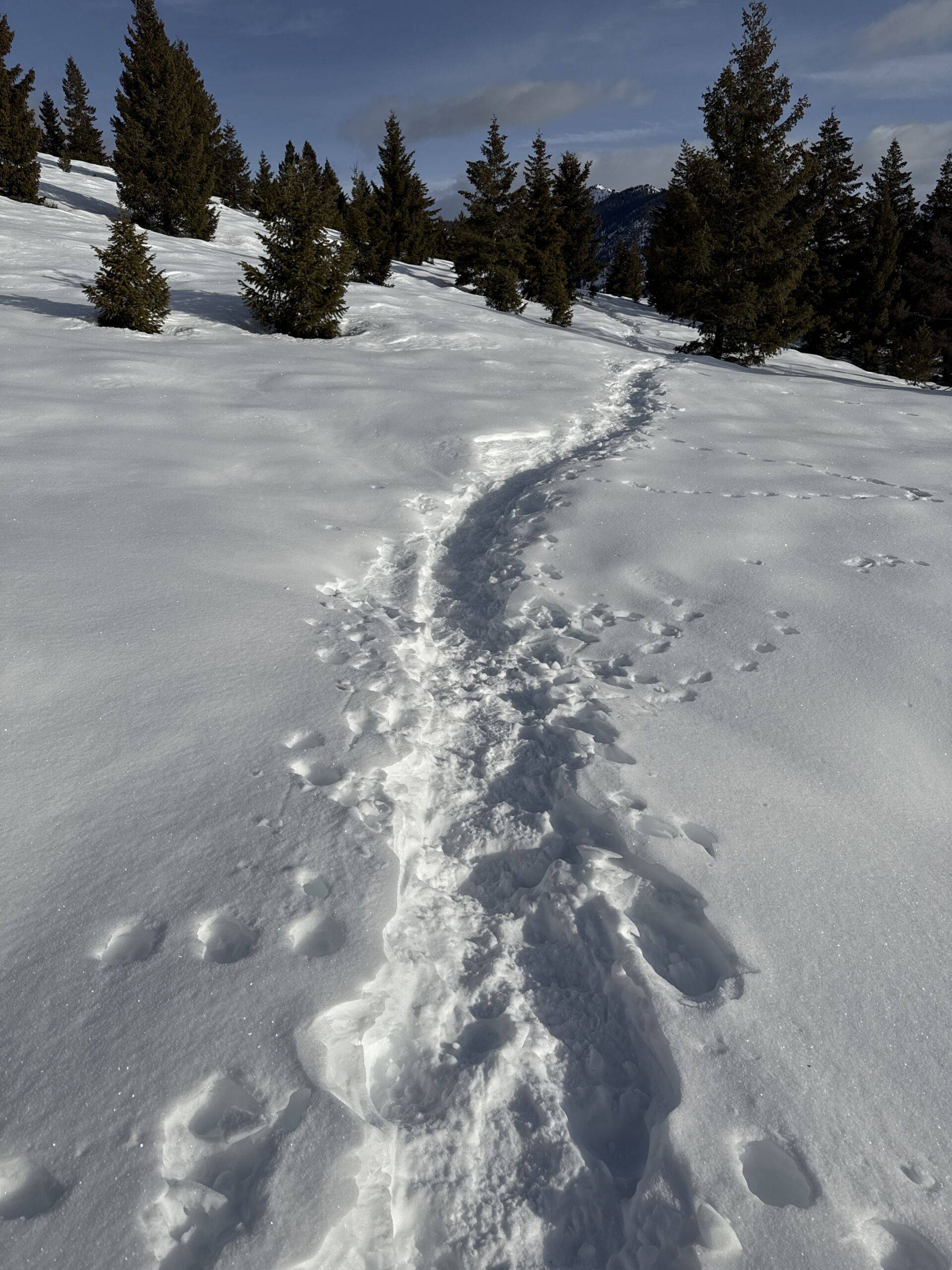
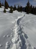
Given the trail’s popularity, it is usually tracked out enough to hike to the peak without snowshoes. After the peak, there is an option to snowshoe the rest of the Chocolate Gulch-Northfork loop.
There is no cell service on this hike. Fortunately, the Trailforks app includes offline maps — a crucial tool for staying on route, especially if you’re breaking trail. Click here to download the app and search for “Chocolate Gulch Ketchum.”


3.4-mile out and back
655 feet total elevation gain
Ascent Grade: 7.8% (Moderate)
There is little to no running water along the route.
The hike starts from the end of Chocolate Gulch Road. From downtown Ketchum, it is an easy 7.6-mile drive all on paved roads. Click here for directions. There is parking for only about 3 cars, so get your hike started early. If you are meeting someone at the trailhead, park one car behind the other to make room for additional vehicles. The lot borders a residential neighborhood, so heed the signs that ask you to be respectful by keeping noise down at the trailhead and ensuring your dogs are not entering the yards.
There are no bathrooms at the trailhead.
The route described here is usually on compacted snow. If you want to snowshoe, follow these directions to complete the loop. Snowshoes will almost certainly be necessary after reaching the peak of the hike.
During dry seasons, spikes will be helpful for traversing icy sections.
For additional routing support, including offline maps,download the Trailforks app and search for “Saddle Trail Ketchum.”
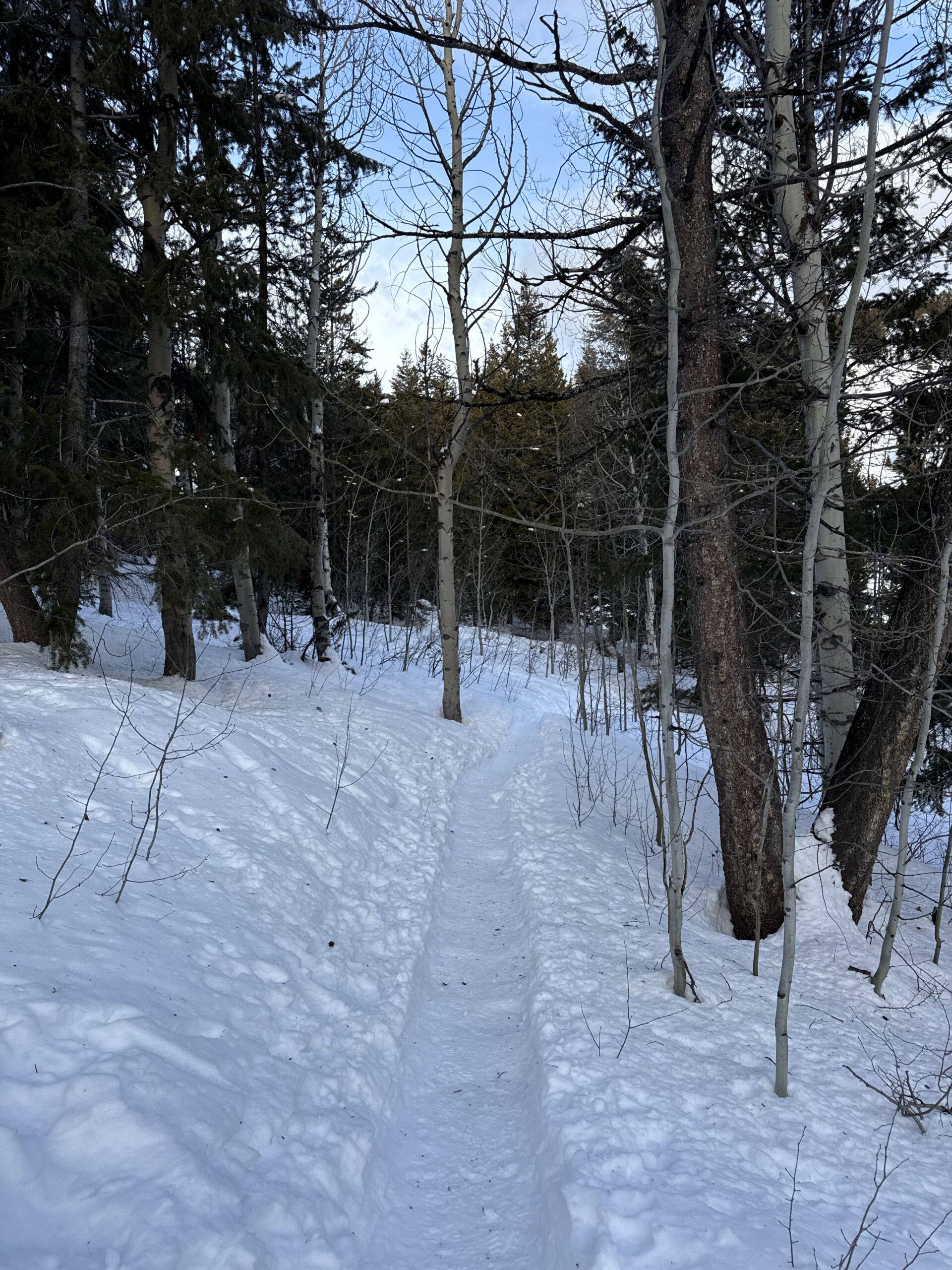
The trail starts with a very short climb to a signed junction marking the start of Chocolate Gulch loop. Turn right at the junction.
The trail takes you through alternating patches of aspen groves and open areas. Around the half mile mark, you will come to a signed junction for the Saddle Trail. Stay left.
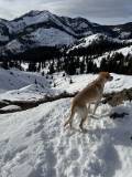
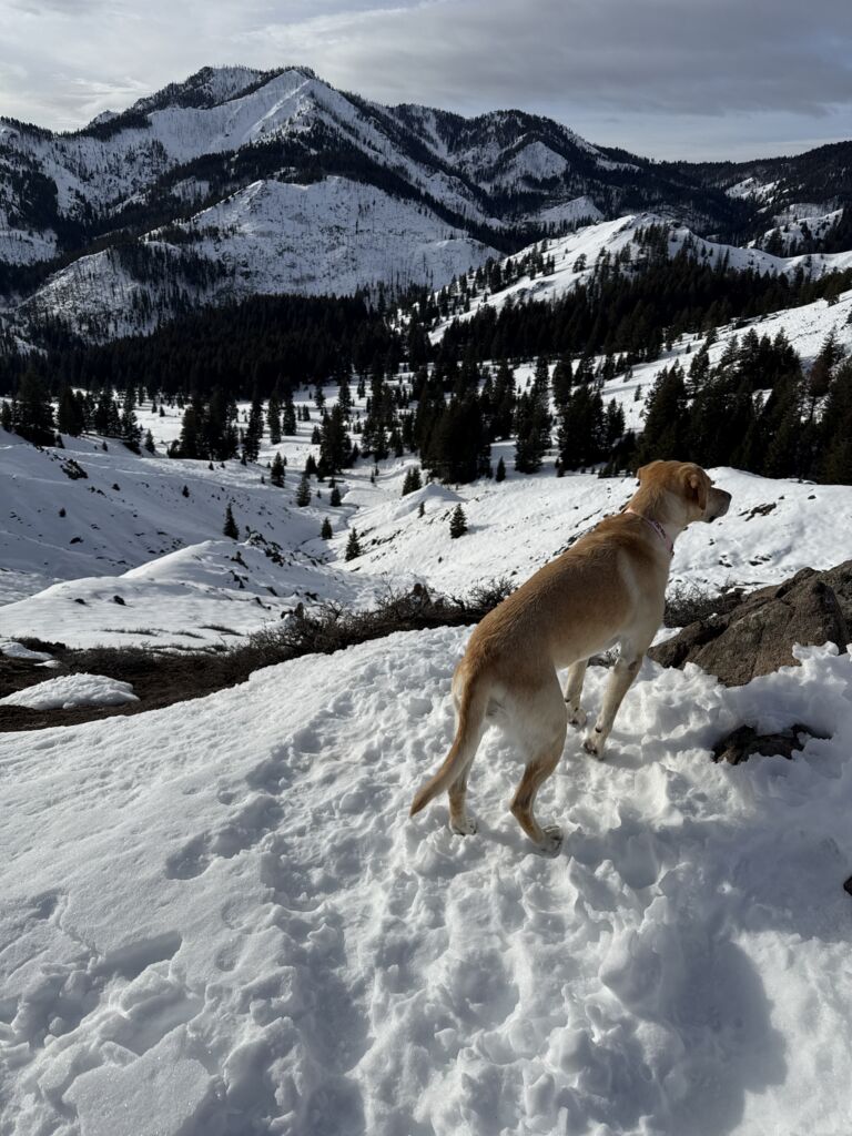
Just after the junction, you enter thicker aspen groves and then into a nicely shaded pine forest. At the mile mark, the trail steepens slightly as it winds along a hillside on the way to its summit. As you climb, there are stunning views of the wild Boulder Mountains to your left.
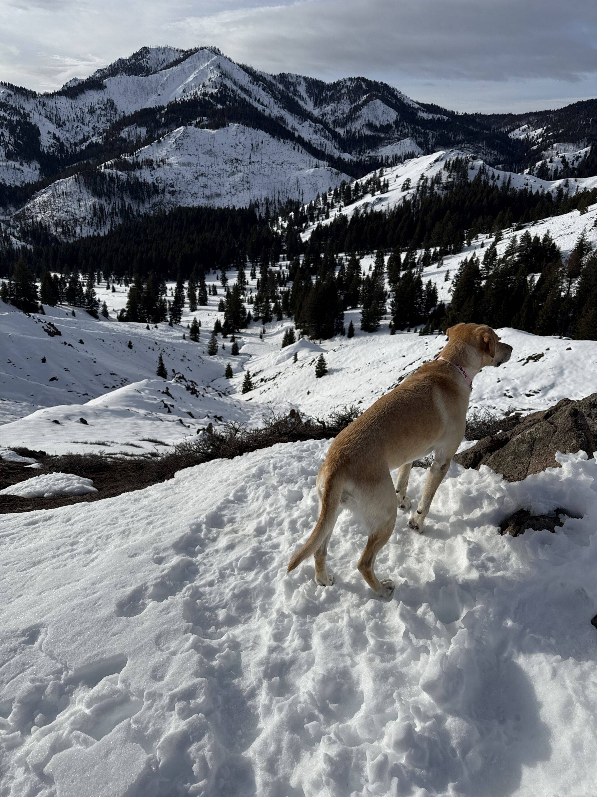
At the 1.45-mile mark you will leave the trees and come to a false summit. Another quick climb takes you to the true summit at 1.6 miles. You will have climbed about 655 feet. Ahead of you are nice views of the Smoky Mountains. Scurry up a tenth mile to a small knob on your left for even better views.
Most hikers turn to retrace their steps. There is an option to complete the Chocolate/Northfork loop, but it is very likely that you will posthole unless you have snowshoes. And only a-holes posthole. (Sorry, we couldn’t resist.)
Disclaimer: Trail info and routes on HikeSV.com are for reference only. Conditions, closures, and access may vary — plan ahead and hike smart!
Hike Categories
Distance: 0 to 4 miles,4 to 8
Difficulty: Moderate
Drive: Easy
Scenery: Spectacular
Shade: Shady
Solitude: Moderate
Experience: Classics
Feature: Out and Back,Winter Hike/Snowshoe
Locations: Ketchum/SV,Smokys