Cow Horn Loop
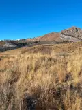
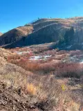
If you are looking for a short, flattish hike not too far from town, this is a great option. The trail starts with a modest climb coming to decent views of the Mahoney Butte and its surrounding hills. The latter part of the hike is along the valley floor, paralleling a stream and newly rehabilitated beaver habitat.
Some of this hike is along Greenhorn Trail, which is an incredibly popular mountain bike route, so be aware of your surroundings, especially if you have dogs in tow.
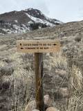
Recently, a large portion of the trail has been re-named “Coyote Ridge” though some locals may still call this hike “Cow Horn”.


300 total elevation gain
From downtown Ketchum, it is an easy 9.3-mile drive with all but the final half mile on paved roads. Click here for directions to the trailhead. There are about 30 parking spots, but they can get scarce by mid-morning during the summer.
There are bathroom facilities at the trailhead.

Mid-April through November
Click Here for a PDF of the Route
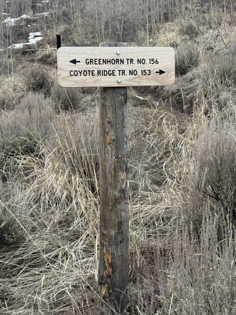
To get to the trailhead, keep the large trailhead map to your left and walk through the parking lot until you come to a sign pointing you towards “Coyote Ridge/TR. NO. 153)”. A few steps later, come to a signed junction with the Greenhorn Trail. Stay right and begin an easy climb through a sagebrush and wheatgrass meadow.
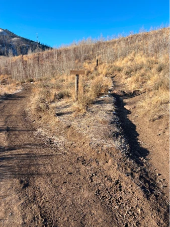
As you continue, the distinctive Mahoney Butte rises above and you will see evidence of 2007’s Castle Creek fire on the Smoky Mountains that lie to your left. Shortly after the .75-mile mark, cross a bridge spanning a small stream, often dry by late fall. The trail levels out after the bridge and come to an unsigned junction at .8 miles. Stay left.

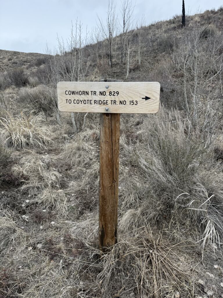
Just after the mile mark, come to a signed junction of Cowhorn and Coyote Ridge. Turn left to take Cowhorn.
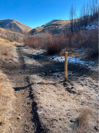
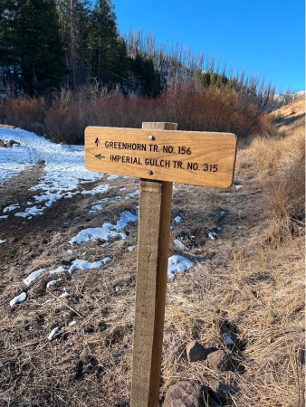
The trail continues with an easy descent, each step bringing you closer to the fire damaged hills in front of you. Below the blackened trees sits newly rehabilitated beaver habitat marked by large ponds and wetlands alongside Greenhorn Creek. At about 1.4 miles, come to a signed junction with Greenhorn Trail. Turn left.
You are now on Greenhorn Trail, a very popular mountain bike route. Be aware of your surroundings and look for traffic coming from either direction. At 1.65 miles, come to another junction, this time with Imperial Gulch Trail. Stay straight.
Quickly come to another bridge and cross Greenhorn Creek for the final time. The views of the beaver habitat wetlands improve as you continue. The route re-connects with the original trail to complete the loop shortly before the trailhead.
Hike Categories
Distance: 0 to 4 miles
Difficulty: Easy
Drive: Easy
Scenery: Okay
Shade: Sunny
Solitude: Busy
Experience: Neither
Feature: Early/Late Season,Loop
Locations: Ketchum/SV