



Moose Lake
Click Here for a Map of the Trail System
You are almost guaranteed to encounter wildlife on this difficult but rewarding hike. Keep a careful eye out for elk, deer, a variety of birds, and possibly even a moose.
The hike begins with a moderate climb alongside Fall Creek before rolling gently through patches of forest and open meadows. About three miles in, after a somewhat challenging ford of the creek, the trail begins a steep, two-mile ascent through the forest. The grade finally eases as you approach beautiful and secluded Moose Lake.
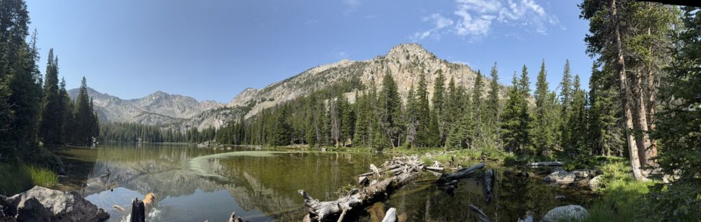
The lake is a perfect place to rest and refuel while watching brook and rainbow trout rise to the surface.




10.14 miles out and back
2607 feet total elevation gain
Ascent Grade: 8.9% (Moderate/Hard)
Hardest Mile: 14% (Very Hard)

The trail parallels the Left Fork of Fall Creek for several miles, but the water is often too far from the trail to access. Fortunately, there are several stream crossings where you can refill and filter water.
The climb between miles 3 and 5 is mostly shaded, but it is still a brutal ascent. Take advantage of the stream crossing at mile 3 to refill bottles. Of course, Moose Lake itself provides an additional water source.
From downtown Ketchum, it is a 27-mile drive to the trailhead with 17.7 of those miles being on well-maintained dirt roads.
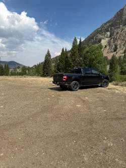
Click here for directions to the trailhead. There is parking for about 15-20 vehicles. Other hiking options from the trailhead are Surprise Valley, and Waterfall Trail. Upper Fall Creek and Left Fork of Upper Fall Creek are options for those seeking solitude.
There are bathroom facilities at the trailhead.
Late June through early October
Click Here for a PDF of the Route
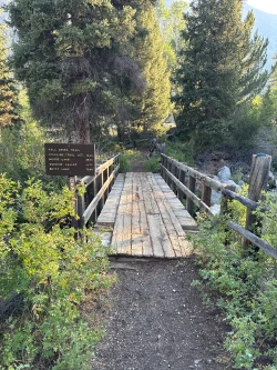
The trail immediately crosses a wooden bridge spanning Fall Creek. At 0.1 miles, come to a gate on your right and squeeze through the fence. Continue through a sagebrush field before entering a pine forest around the half-mile mark.
The woods grow thicker and the climb intensifies at about 0.8 miles. The ascent moderates around the one-mile mark, where nice views open up toward Fall Creek flowing far below.
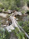
The trail descends briefly at 1.4 miles before entering a large sagebrush field at 1.6 miles. At 1.8 miles, come to a creek crossing and look for deadfall that may make the ford easier.
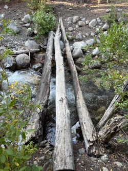 Creek crossing at 1.8 miles
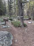
Immediately after the ford, come to a signed junction. One trail leads toward Moose Lake and Surprise Valley, while the other heads toward Left Fork of Upper Fall Creek. Stay right toward Moose Lake and Surprise Valley.
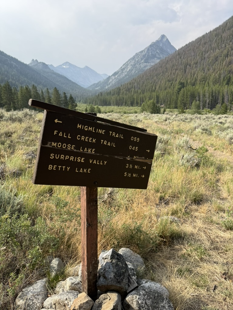 Signed junction just after the crossing (Stay Right)
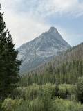
Continue through an open field with the striking frame of Standhope Peak rising above you. Willows line portions of the trail and often provide cover for moose and other wildlife, so stay aware of your surroundings, particularly if you are hiking with dogs.
At about 2 miles, re-enter a light forest as the trail begins alternating between small meadows and wooded sections. At 2.8 miles, descend toward Fall Creek. Shortly afterward, come to a signed junction with the Surprise Valley/Fall Creek Trail. Turn right.
 Junction at 2.85 miles (Turn Right)
A tenth of a mile later, reach Fall Creek. Move to the left to find logs that can make the crossing easier.
 Crossing of Fall Creek at 2.95 miles
After the crossing, the trail turns sharply right and briefly parallels the creek before beginning to climb at the 3-mile mark. The next two miles through the woods are extremely demanding, so make sure you have plenty of water before beginning the ascent.
The trail crosses several boggy areas as it climbs steeply. Around the 3.75-mile mark, you get a few welcome steps of relief as the grade briefly eases.
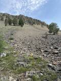
Just before the 4-mile mark, the trail enters a boulder field where the route can become difficult to follow, so stay alert. The forest then opens onto a talus field—keep an eye on the surrounding slopes for mountain goats.
At 4.15 miles, cross Fall Creek again and begin another tough climb through the woods.
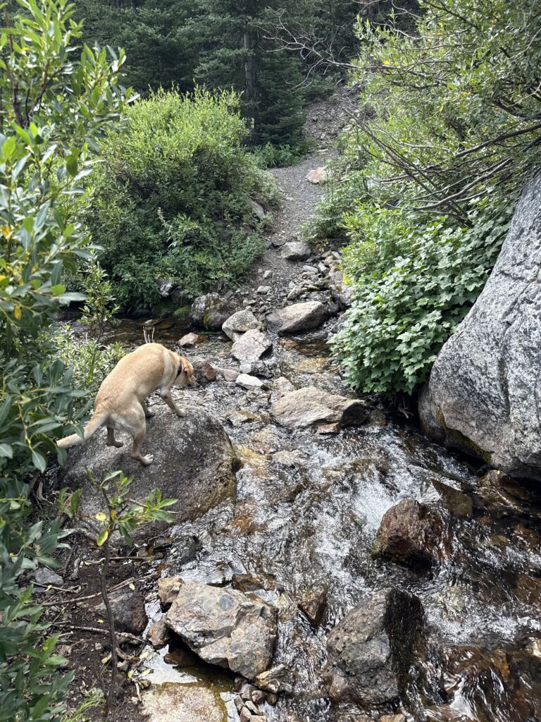 Crossing at 4.15 miles
There is another easy ford at 4.4 miles before the trail enters a sagebrush meadow and climbs through a rocky, narrow gully. Again, pay close attention here, as the trail can be difficult to follow.
At about 4.8 miles, the trail finally begins rolling downhill toward the lake. Shortly afterward, you’ll reach a beautiful section of Moose Lake’s outlet stream.
From there, climb through one final small meadow before arriving at beautiful and secluded Moose Lake.
Hike Categories
Distance: 8+
Difficulty: Hard
Drive: Hard
Scenery: Spectacular
Shade: Moderate
Solitude: Quiet
Experience: Beyond the Ordinary
Feature: Best For Water-Loving Dogs,Lakes,Out and Back
Locations: Pioneers