South Aspen and Aspen Loop
This hike shares a trailhead with Proctor Mountain, one of the most popular hikes in the valley. But for our money, this hike outshines its trailhead mate. Sure, compared to Proctor you lose a few tenths of a mile and about 200 feet of climb, but Aspen is less congested, shadier, and splits its climb into two sections whereas Proctor is a single steady uphill trek. Although this is a multi-use trail, you will rarely encounter mountain bikers.


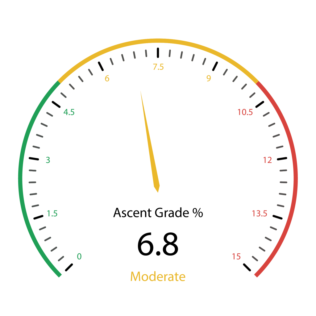
940 total elevation gain
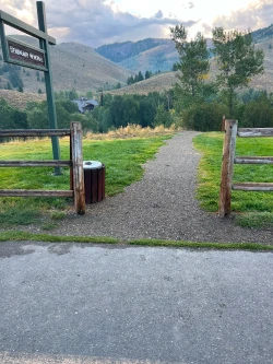
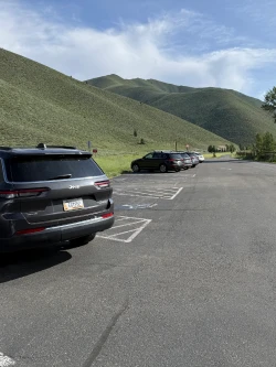
From downtown Ketchum, it is an easy 2.6-mile drive with all on paved roads. Click here for directions to the trailhead. There are about 30 parking spots on either side of the street, but spots can still get scarce by mid-morning during the summer.
There are no bathroom facilities at the trailhead.
Click Here for a PDF of the Route
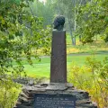
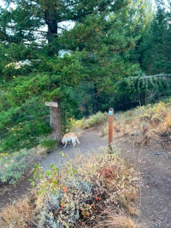
Go straight and quickly come to the Hemingway Memorial.
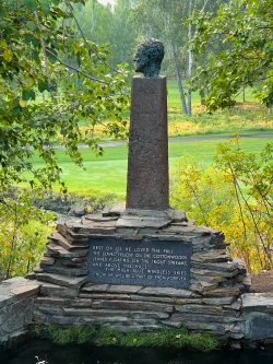
Wind to your right and around the memorial. Go downhill and come to a T-junction with a wide path. Turn left.
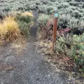
Trail Creek flows to your right as you continue along the wide path. Just before .2 miles, the path splits. Veer right and cross a bridge over the creek. This will be the last source of water until you return to this spot late in the hike.
Directly after the bridge, turn left and head up a very short, steep hill and turn left again at the top.

As you wind around the hillside, you will see Trail Creek Cabin to your left. After a short descent, you will come to a four-way junction at .4 miles. The trail to the right takes you to Proctor Mountain and Ruud Mountain hikes while the path to your left leads to Corral Creek. Stay straight.
After a few steps, you will hit another wide path cutting through to your left and right. Take a left and then a very quick right at the sign to South Aspen.
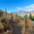
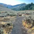
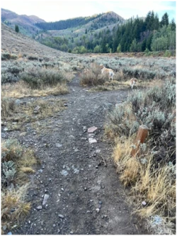
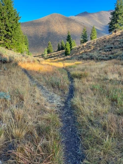
This starts an ascent that winds up an open hillside, paralleling the first mile of the Proctor Mountain trail, which lies below. At .7 miles, the trail will make a U-turn to the left, affording you great views of Bald Mountain.
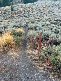
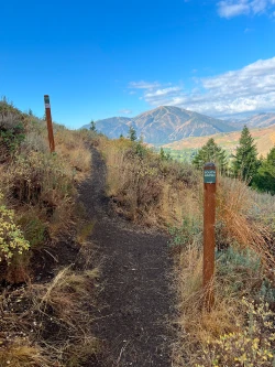
Just after the 1-mile mark, you will come to another junction with the Proctor Mountain trail. Stay left, following the sign to South Aspen.
From here, the trail descends slightly to another clearly marked junction at 1.15 miles. Keep right and follow the signs to Aspen Loop. This marks the start of a 1.35-mile loop back to this point.
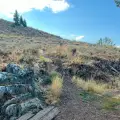
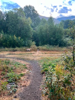
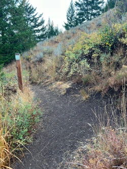
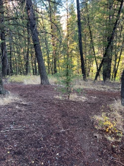
The trail rolls through a mix of open and wooded areas and begins descending back towards the valley floor at 1.55 miles. Many hikers will continue until they connect with Corral Creek, but the better option is to veer left into the woods at 1.85 miles.
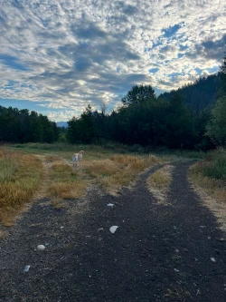
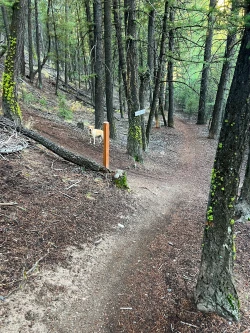
This pleasant section rolls through the woods, coming to a T-junction at just over 2.1 miles. Turn left and follow the path until another clearly marked junction just before 2.2 miles. Turn left again and start a heart-pumping 175-foot climb over the next .35 miles.
The ascent eases at the completion of the loop back to the Aspen Loop/Proctor junction at 2.5 miles. Take a sharp right and you will be reversing the trail you took earlier. At about 2.67 miles you will come back to a junction with Proctor. Veer right at the South Aspen sign to head back down the hill.
Continue back the path you came up, crossing Trail Creek at 3.5 miles. At 3.65 miles, turn right up the hill back to the Hemingway Memorial and the parking lot. Do not go straight at this junction, as you would soon enter Sun Valley’s Trail Creek golf course, passing right in front of a couple tee boxes on Hole #8. Even if you manage not to get hit by a shot, Sun Valley golfers are not shy about shooing hikers off their course.
Hike Categories
Distance: 0 to 4 miles
Difficulty: Easy
Drive: Easy
Scenery: Nice
Shade: Moderate
Solitude: Busy
Experience: Classics
Feature: Loop
Locations: Ketchum/SV