Sunnyside at Adams Gulch
Winter Hike
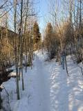
With sweeping views and diverse terrain, Adam’s Gulch stands out as one of our valley’s most popular year-round trailheads. Whether you’re looking for an easy, well-worn path or a challenging snowshoe ascent, you’ll find a trail that fits your ambition.
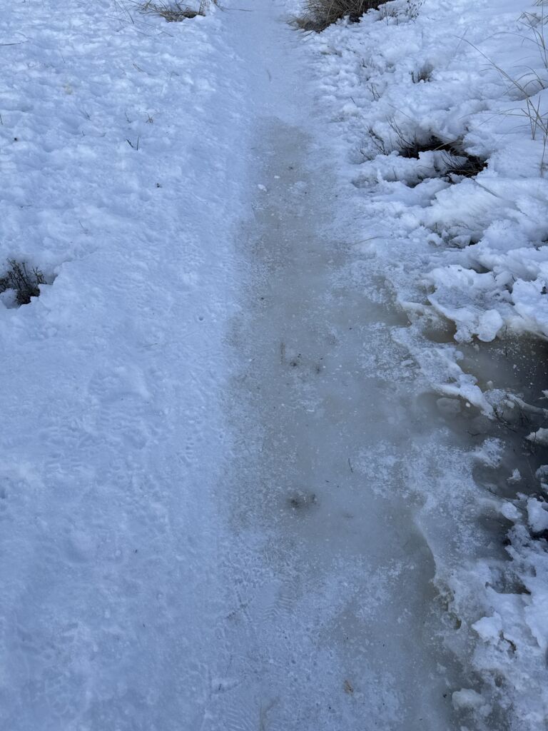
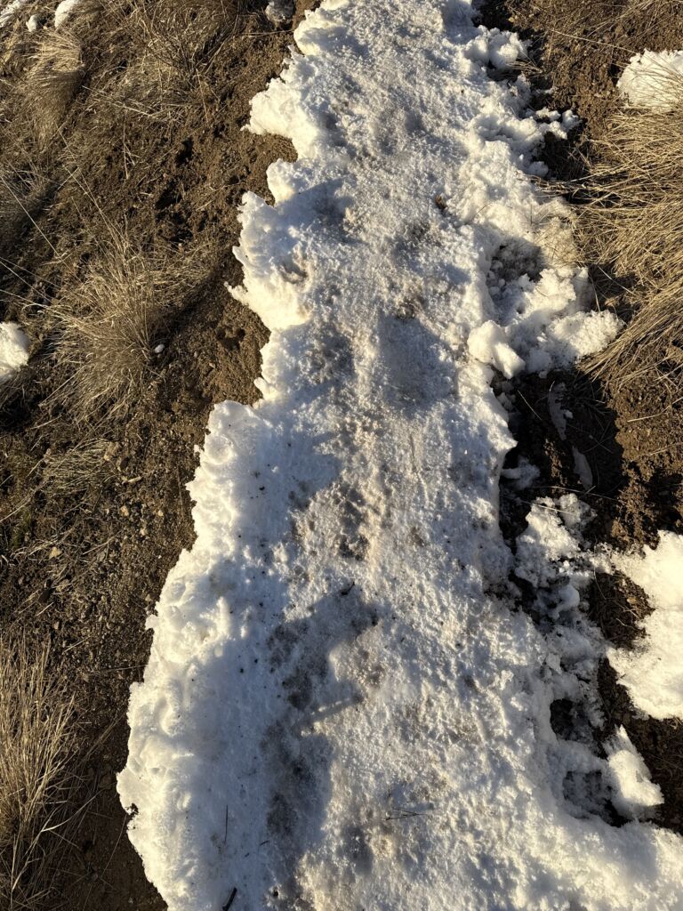
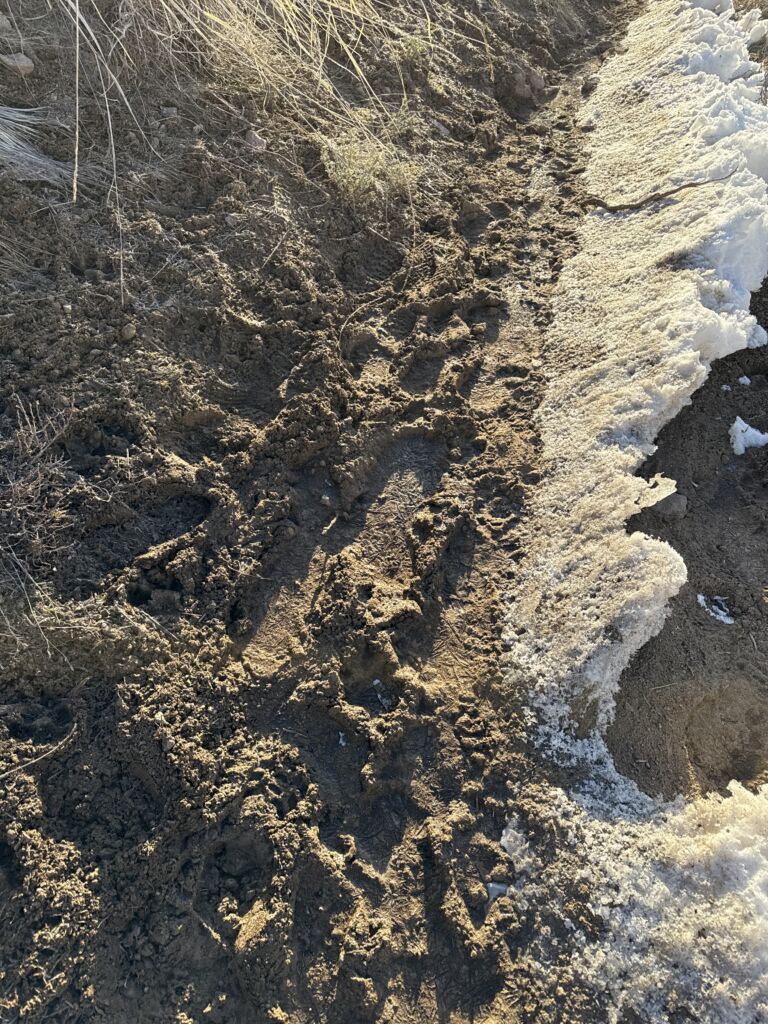
The Sunnyside–Old Adam’s Gulch Road loop is an excellent option for hikers seeking a compact, easy-to-follow route with just enough elevation to get the heart pumping. Spikes are highly recommended in low-snow years as icy sections are common. Muddy conditions can also develop, particularly when temperatures hover near 30 degrees, so it’s best to avoid the route during freeze–thaw cycles.
Unless you are an experienced snowshoer who knows the trail extremely well, we do not recommend breaking trail after heavy snowfall. Several sections traverse narrow ridgelines, making the route treacherous and difficult to follow in deep or fresh snow. If you are looking to break trail, try the Old Adams Gulch Road-Shadyside Loop instead.
For additional routing support, use the “Route” tab below or go to this page at Trailforks.com and follow Sunnyside to Lane’s Trail to Old Adams Gulch Road. For an offline map, download the Trailforks app.

3.65-mile loop
525 total elevation gain
Ascent Grade: 6.9% (Moderate)
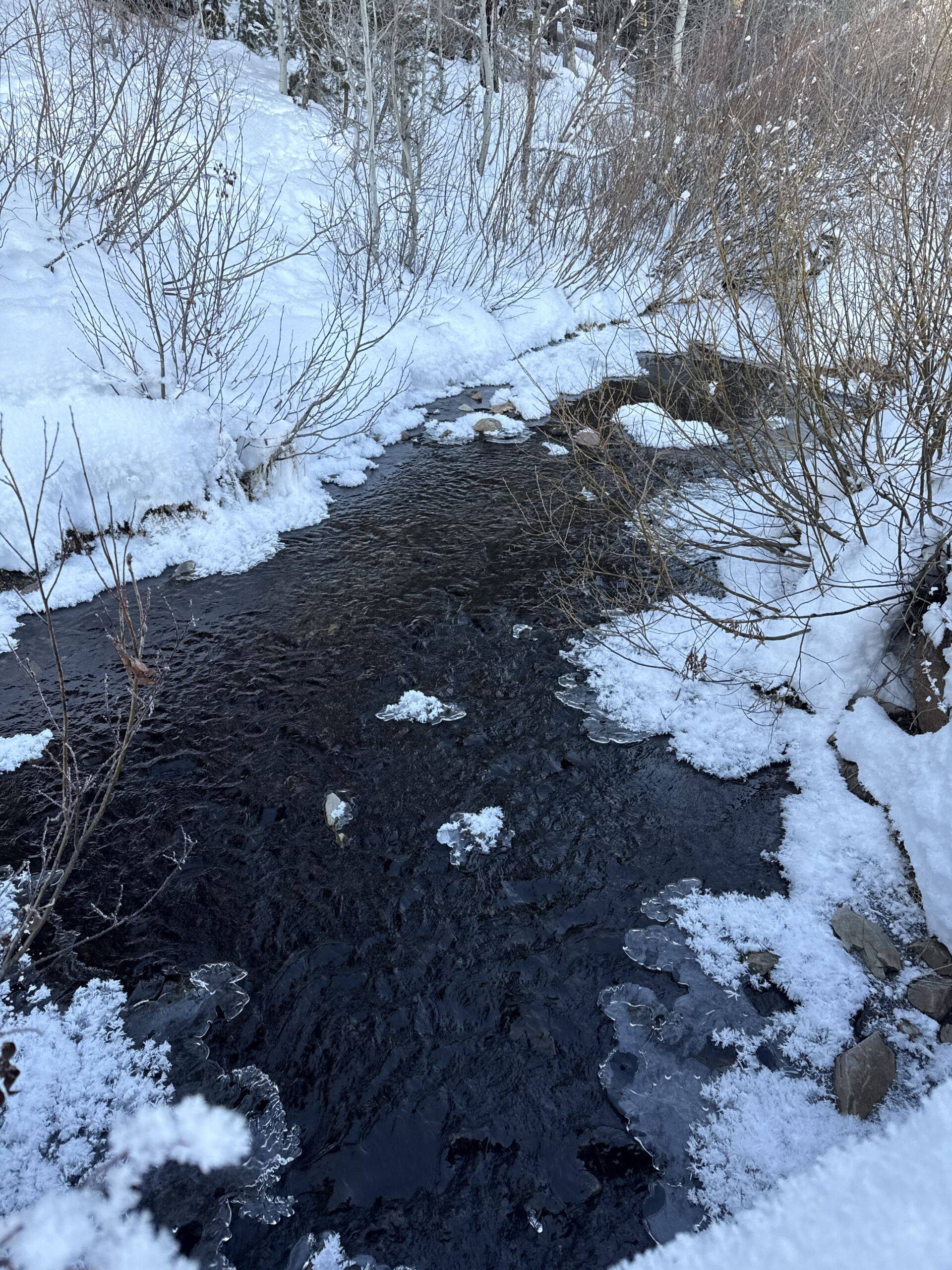
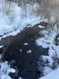
There is often running water at various spots along the route – just before the junction at about .9 miles and then again as you cross a bridge just before the 2-mile mark. The last mile or so of the hike follows a small stream, but it is usually frozen over.
From downtown Ketchum, it is an easy 2.7-mile drive with all but .2 miles being on paved roads. Click here for directions to the trailhead. There is usually plenty of parking in the winter.
There are bathroom facilities at the trailhead.
The Sunnyside–Old Adam’s Gulch Road loop is an excellent option for hikers seeking a compact, easy-to-follow route with just enough elevation to get the heart pumping
Bring spikes in case conditions are icy.
Only experienced snowshoers who know the route extremely well should break trail with snowshoes.
For additional routing support, go to this page at Trailforks.com and follow Sunnyside to Lane’s Trail to Old Adams Gulch Road. For an offline map, download the Trailforks app.
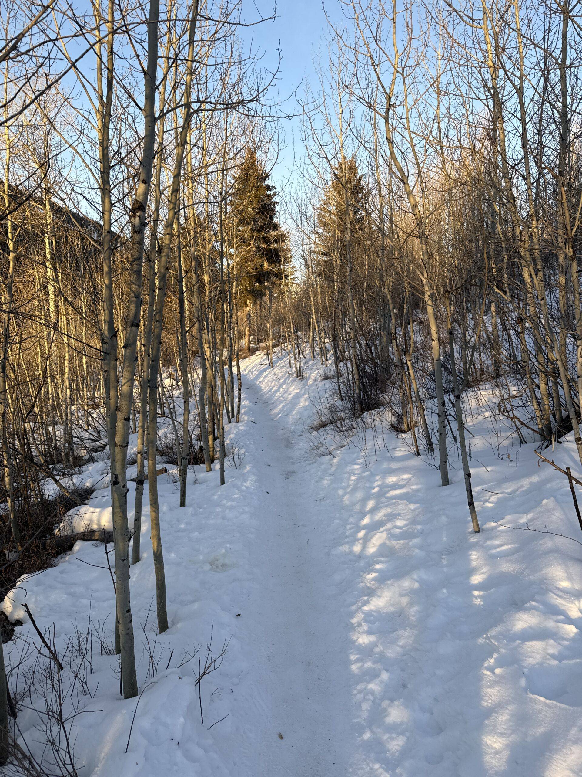
To begin, keep the large Adam’s Gulch trailhead sign to your left and then stay left at a few junctions within the first 500 feet. In low-snow years, this section of the trail can be icy.
Continue through some small patches of evergreens and aspen groves and come to the first signed key junction at about .6 miles. Stay right.
The trail continues to wind through similar terrain. Just before .8 miles stay right at another signed junction. Another option is to turn left and descend down to Old Adam’s Gulch Road to make a shorter loop.
Quickly come to a third signed key junction just before .9 miles. The path to the right (“Porkchop”) is a tough climb that connects you to a series of fantastic trails to the north. Turn left across the bridge. There is often running water under the bridge.
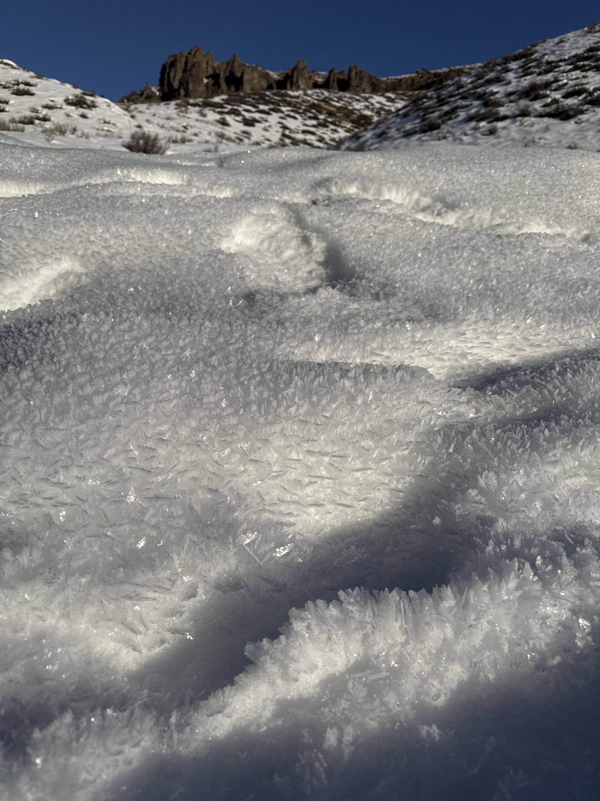
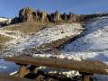
The climb intensifies as you come upon an open ridge. As the trail winds along, beautiful views open to the north and there are over-the-shoulder views back towards Ketchum. This section receives heavy sun and undergoes an extreme freeze-thaw cycle, so it is highly compressed and can be icy. Watch your step along the narrow ridge.
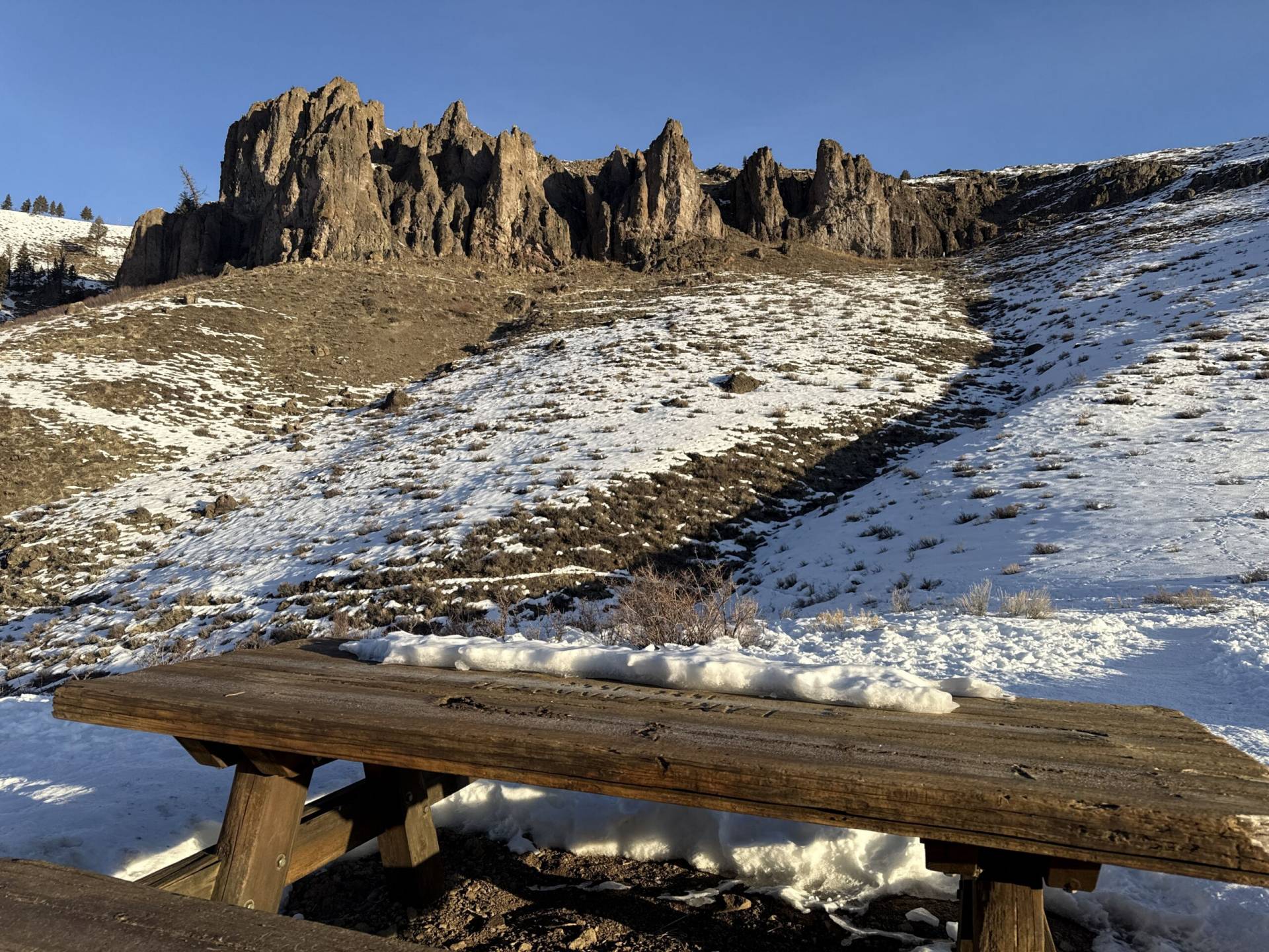
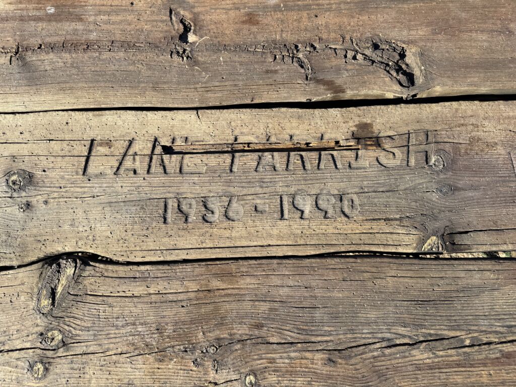
At 1.4 miles, you will reach the apex of the hike. Take a second to visit the picnic table on top of the hill. It was placed there to honor local skiing legend Lane Parrish who died in a plane crash in 1990.
Head back to the trail and turn left to begin the descent to the valley floor. This section is far less traveled, as many hikers simply retrace their steps from the peak to the trailhead, so the trail can be less defined after the apex. Also, some sections receive heavy sun and can become very muddy in less-than-freezing temperatures. If you are leaving tracks in the mud, please turn around.
Cross over a small bridge at about 1.65 miles. Shortly afterwards, the trail winds through an open field. Just before the 2-mile mark, cross another small bridge that spans a section of stream that runs except for the coldest days. Shortly after the bridge, come to a junction with Citizens Trail and stay left.
Continue down the hill and come to another signed key junction at 2.15 miles. Turn left onto Old Adams Gulch Road.
An oft-frozen stream sits alongside to the right of the trail as you walk through the valley bottom. Just after the 2.75-mile mark, come to a junction with a path that will lead you back up to Sunnyside, but stay right to continue on Old Adam’s Gulch Road. Cross a bridge at about 2.8 miles. Water will often be running here.
After the bridge, the trail often widens. Stay to the right to keep the trail wide enough for two-way traffic. There are a few junctions along the way with Shadyside, Sunnyside, and Heidelberg Hill, but stay on the wide path and arrive back at the parking lot at about 3.65 miles.
Disclaimer: Trail info and routes on HikeSV.com are for reference only. Conditions, closures, and access may vary — plan ahead and hike smart!
Hike Categories
Distance: 0 to 4 miles
Difficulty: Easy
Drive: Easy
Scenery: Okay
Shade: Sunny
Solitude: Busy
Experience: Classics
Feature: Loop,Winter Hike/Snowshoe
Locations: Ketchum/SV