Big Basin
Big Basin shares a trailhead with the popular Hyndman Basin trail and the routes do not diverge until shortly before the 2.5-mile mark. Big Basin equals Hyndman Basin’s renowned beauty, but after the trail splits it offers solitude that the busier route cannot match.
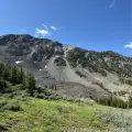
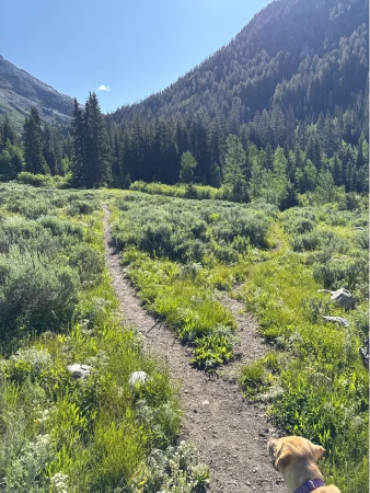
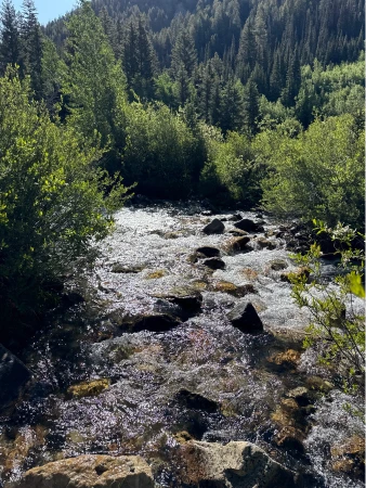
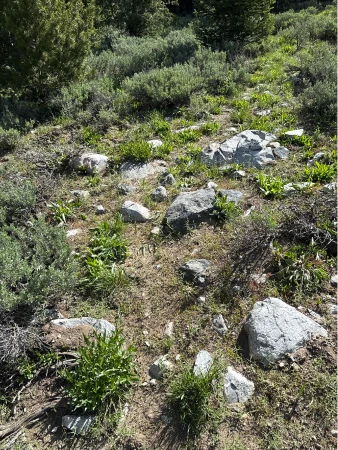
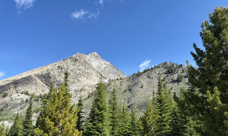
The beginning of the hike rises gently through alternating sagebrush fields and aspen groves before entering a pine forest about 2 miles in. All the while, the idyllic Hyndman Creek flows alongside, nestling close enough to the trail at various points for your dog to sneak in a drink. After diverging from the Hyndman Basin trail and crossing the creek (which can be very tough during periods of high water) the path climbs through old growth forest. As the trees thin near the turnaround, the stunningly beautiful Pioneer Mountains rise before you. The destination is an open hillside field with nearly 360° views of the surrounding mountains, including the 11,650-foot Cobb Peak.


1910 total elevation gain
 Hardest Mile: 11.8%
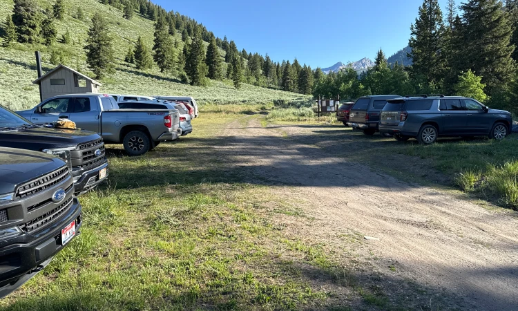
From downtown Ketchum, it is a 17.6-mile drive with the last 6 miles on dirt roads. The last mile to the trailhead is rocky and narrow with limited turnouts, so use caution. Click here for directions to the trailhead. There is parking for about 30 vehicles and the lot gets busy during high season.
There are bathroom facilities at the trailhead.
Click Here for a PDF of the Route
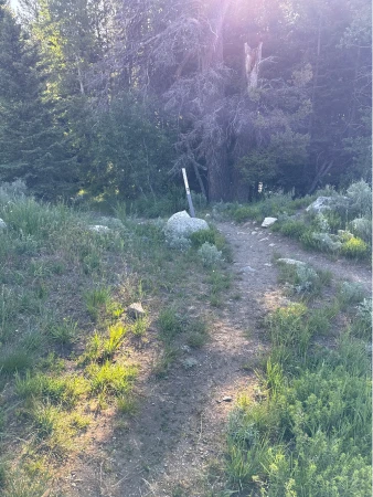
theThe start of the trail dips towards Hyndman Creek. During low water periods you can cross the creek over stones, but when the water is high, stay left to cross via a bridge. Enter a meadow and then pass through some small aspen groves. At 1.3 miles, Hyndman Creek gets close enough to access via a short spur that shoots to the right. At about 2 miles, pine trees emerge and offer some relief from the sun. There is another path down to the creek at 2.15 miles.
The Big Basin trail shoots to the right at 2.35 miles. It is clearly the road less traveled. Veer right.
The trail dips once again towards Hyndman Creek which you will reach within a tenth of a mile. It is not an easy crossing during high water periods – some years it is impassable until mid-July.
After the ford, the climb intensifies as it passes through old-growth forest. The trail steepens again at a series of switchbacks starting at 2.9 miles. After the 3-mile mark, views open westward towards the Hyndman Creek watershed.
At 3.5 miles, cross a small unnamed stream. The trail levels out as it alternates between open meadows and small patches of forest. Pass over another small creek just before the 4-mile mark.
The climb resumes after the stream crossing, but the views towards the mighty Pioneer Mountains steals attention from the effort. Finally, at 4.35 miles the trail peters out at a group of half-buried grey boulders. This is an excellent spot to sit and eat a lunch as you marvel at the nearly 360° views of the towering Pioneer peaks.

Hike Categories
Distance: 8+
Difficulty: Moderate
Drive: Hard
Scenery: Spectacular
Shade: Moderate
Solitude: Moderate,Quiet
Experience: Beyond the Ordinary
Feature: Out and Back
Locations: Pioneers