



North Fork of the Big Wood River
This hike is a great way to experience the wild quiet of the Boulder Mountains. Many hikes in this range can be difficult to access or incredibly strenuous, but this moderate route lets you enjoy the solitude without beating you up. Don’t get us wrong – there are still sections that will challenge you, but the effort remains manageable.
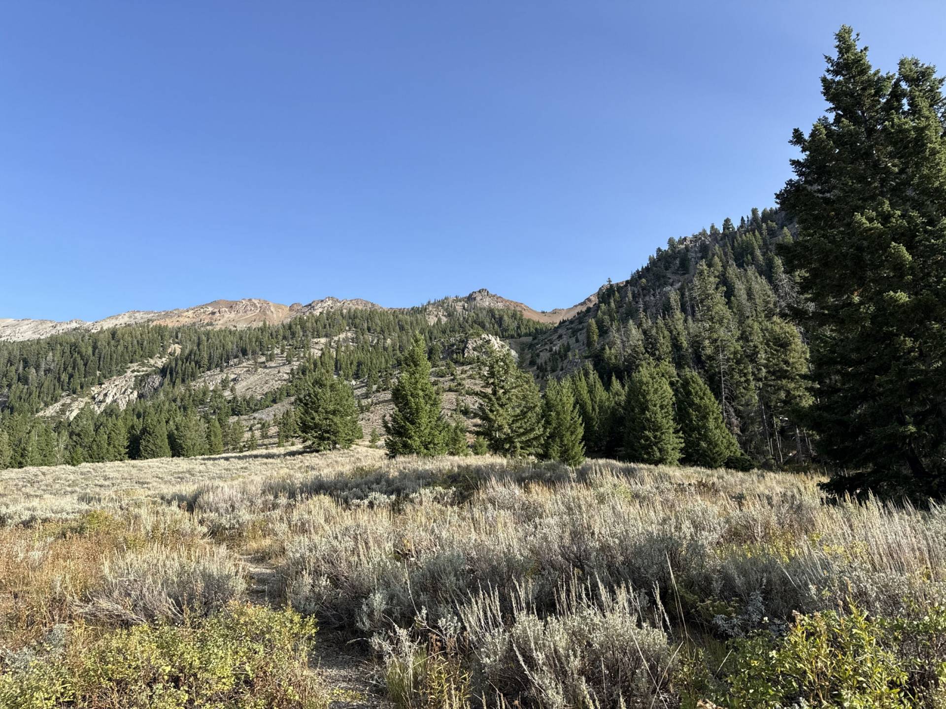
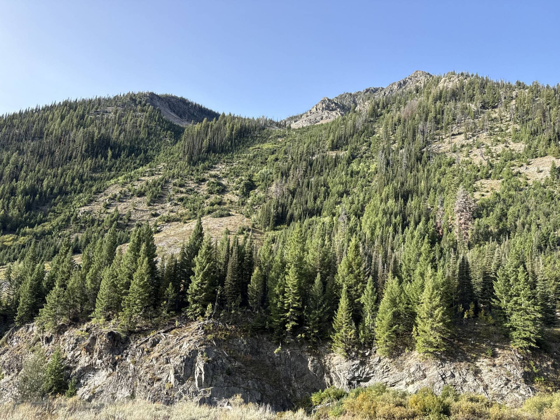
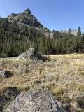
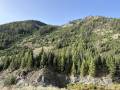
After beginning in an open sagebrush field, the route enters the forest and rolls along the edge of the North Fork of the Big Wood River. The trail begins climbing after the 2-mile mark, rewarding the effort with stunning views of the Boulders as you make your way through a horseshoe-shaped valley. Farther along, you’ll pass a pair of dramatic waterfalls before reaching the destination – a small meadow that makes a perfect spot for a mid-hike picnic.






8.6 mile out-and-back
1845 feet total elevation gain
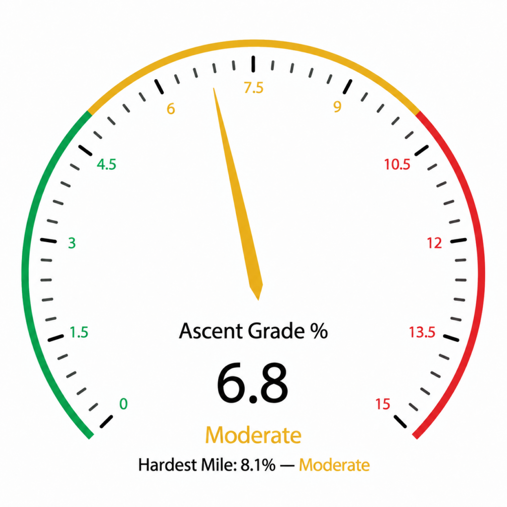
Ascent Grade: 6.8% (Moderate)
Hardest Mile: 8.1% (Moderate)
There is plenty of accessible water along the route.
From downtown Ketchum, the trailhead can be reached by traveling 8 miles on paved roads followed by 4.5 miles on a dirt road featuring small boulders and some uneven terrain. Lower clearance vehicles should exercise caution.
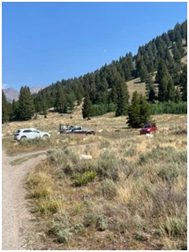
Click here for directions to the trailhead. There is parking for about eight vehicles. Other hiking options from the trailhead are the more frequently used Amber Gulch and Amber Lakes as well as West Fork of the North Fork of the Big Wood River and the incredibly difficult West Pass.
There are no bathroom facilities at the trailhead.
May through September
Click Here for a PDF of the Route
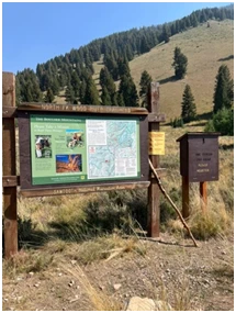
Start the hike by walking through a sagebrush field for about .3 miles and enter the forest. About 300 feet after you enter the forest, stay right at the junction.
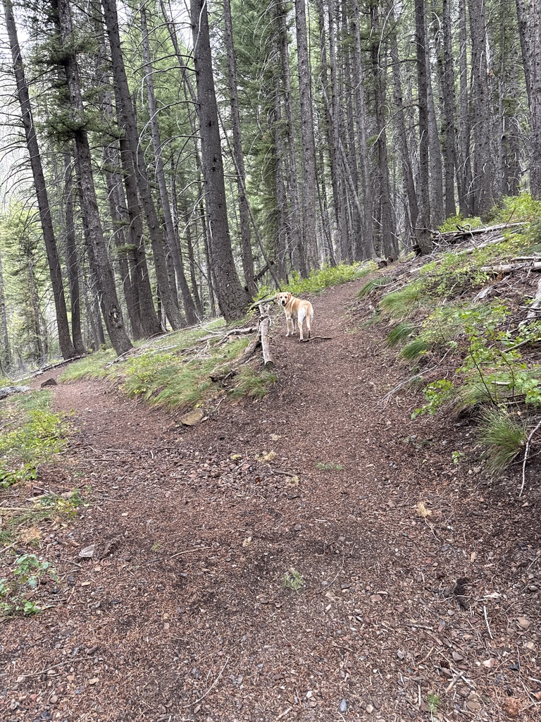 Junction just after .3 miles (Stay Right)
Shortly after the junction, pass a sign marking the beginning of the “Hemingway Boulders Wilderness” and continue to the right through the woods. The trail then descends about 100 feet, cozies up to the North Fork of the Big Wood River, and begins rolling along its right bank.
Just after the 1.3-mile mark, come to an easy crossing of a spring-fed creek and emerge into a sagebrush field. Follow the increasingly rocky trail as it bisects a small, peaceful valley. There is another creek crossing, often dry, at 1.8 miles before the trail briefly heads back into the woods.
At 2.1 miles, come to the signed junction of the North Fork of the Big Wood River and West Pass routes and veer left.
 Junction at 2.1 miles (Veer Left)
The trail steepens after the junction as it continues alongside the river. At about 2.65 miles, enter a large sagebrush meadow, where excellent views of the Boulder Mountains open before you. The trail levels out somewhat and crosses a couple of small streams just before the 3-mile mark, though they may run dry by late summer.
The trail rises again and at 3.15 miles, a beautiful waterfall lies just a few steps off the trail and is well worth a look. Shortly afterward, another smaller waterfall is visible from the trail. Keep dogs and children close through this section, as there is a steep drop down to the falls.
Re-enter the forest at 3.5 miles, followed by another open field. Make two easy stream crossings at 3.75 and 3.8 miles, then return to the woods. Cross a muddier stream just after 4 miles and one final stream at about 4.15 miles.
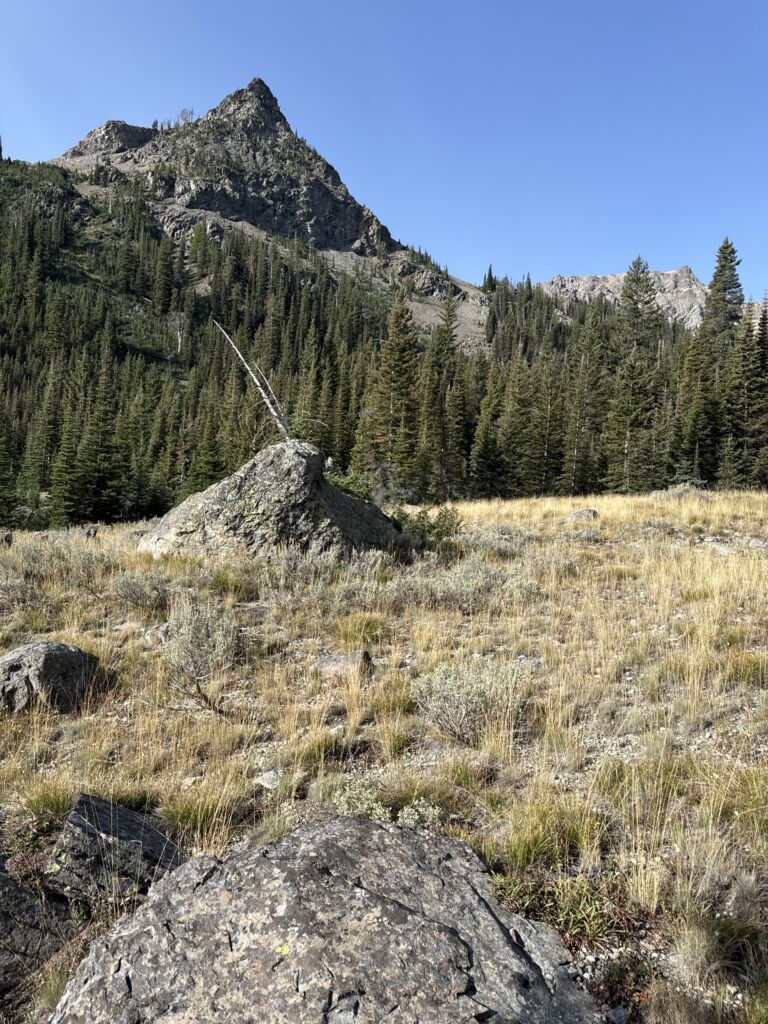
The trail gradually fades as you reach the destination at 4.3 miles: a small sagebrush meadow dotted with several large boulders. It’s an understated but wonderfully peaceful finish – and an excellent place to settle onto a boulder, pull out lunch and enjoy the quiet of the Boulder Mountains before turning back.
Hike Categories
Distance: 8+
Difficulty: Moderate
Drive: Moderate
Scenery: Nice
Shade: Moderate
Solitude: Quiet
Experience: Neither
Feature: Best For Water-Loving Dogs,Dedicated Online Map,Out and Back
Locations: Boulders