



West Pass
This is one of the most difficult day hikes in the Wood River Valley, marked by an exceptionally arduous, sun-soaked climb over the final 2.6 miles to the turnaround point. Those who take on this trek through the beautifully wild Boulder Mountains are rewarded with solitude, mid-summer wildflowers, and a stunning miles-long cascade that parallels much of the climb.
From the destination, outstanding views stretch toward Ryan Peak and Kent Peak, the two tallest mountains in the Boulder Range. On a clear day, you can even see the distant White Cloud Mountains and the impressive Glassford Peak.
For an even greater challenge, continue from the turnaround point to Ryan Peak, extending the hike to a total of 11.5 miles with 5,022 feet of elevation gain.
We highly recommend hiking poles for this route. They will give some relief to your legs on the ascent and help with balance as you scramble back down.






9.6 mile out-and-back
3750 feet total elevation gain
Ascent Grade: 14.8% (Very Difficult)
Hardest Mile: 22.1% (Extremely Difficult)

We strongly recommend that you DO NOT do this hike during the mid-day heat of summer. While there is water to be found along the route, the climb is brutal and almost entirely exposed to the sun. Given the strenuous nature of the hike, be sure to fill your bottles whenever you come to water and carry plenty for the punishing final climb.
From downtown Ketchum, the trailhead can be reached by traveling 8 miles on paved roads followed by 4.5 miles on a dirt road featuring small boulders and some uneven terrain. Lower clearance vehicles should exercise caution.
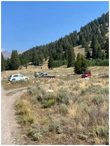
Click here for directions to the trailhead. There is parking for about eight vehicles. Other hiking options from the trailhead are the more frequently used Amber Lakes as well as West Fork of the North Fork of the Big Wood River and North Fork of the Big Wood River.
There are no bathroom facilities at the trailhead.
May through September
Click Here for a PDF of the Route
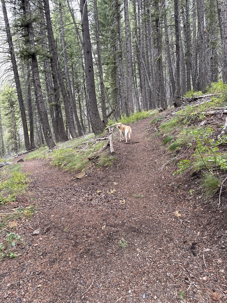
Start the hike by walking through a sagebrush field for about .3 miles and enter the forest. About 300 feet after you enter the forest, stay right at the junction.
 Junction just after .3 miles (Stay Right)
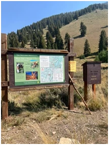
Shortly after the junction, pass a sign marking the beginning of the “Hemingway Boulders Wilderness” and continue to the right through the woods. The trail then descends about 100 feet, cozies up to the North Fork of the Big Wood River, and begins rolling along its right bank.
Just after the 1.3-mile mark, come to an easy crossing of a spring-fed creek and emerge into a sagebrush field. Follow the increasingly rocky trail as it bisects a small, peaceful valley. There is another creek crossing, often dry, at 1.8 miles before the trail briefly heads back into the woods.
At 2.1 miles, come to the signed junction of the North Fork of the Big Wood River and West Pass routes and veer right.
 Junction at 2.1 miles (Veer Right)
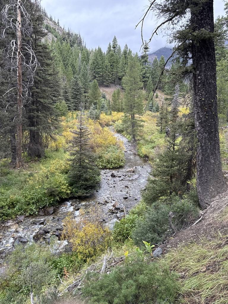
The trail steepens shortly after the junction, and after a couple of switchbacks, a beautiful waterfall comes into view. The cascade parallels much of the climb, occasionally coming close enough to the trail to top off your water or let your dog cool off. During most years, you will also cross small streams four times just before and after the 3-mile mark.
Take time to admire the waterfall as you ascend — after all, you will need a break from the relentless grade. The third mile of the hike climbs at a 16.5% grade, while mile four is a punishing 22.1%.
Just after the 4-mile mark, a beautiful mountaintop meadow emerges to your right. Wildflowers are in full bloom during mid-summer, and given the elevation above 9,000 feet, some survive into early September.
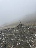
The trail intensifies even more as you climb from the meadow through a talus-lined gully. At this point, you will almost certainly find yourself looking uphill, hoping each crest you see is the destination. Do not be fooled by the small, flat meadow at 4.65 miles. Continue up one final burst until, at an elevation of 10,100 feet, you come to a cairn with an old signpost sticking out of it. That is your final destination.

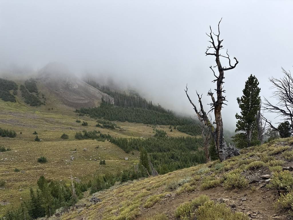
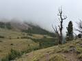
As the photo shows, at this elevation and given the topography of the pass, weather can move in quickly. We were here in early September, and while conditions were pleasant on the valley floor, strong winds and snow greeted us at the upper elevations. Be prepared for anything!
And, courtesy of Idaho Alpine Zone, here are some views from the destination on a clear day:


Hike Categories
Distance: 8+
Difficulty: Hard
Drive: Moderate
Scenery: Spectacular
Shade: Sunny
Solitude: Quiet
Experience: Beyond the Ordinary
Feature: Best For Water-Loving Dogs,Dedicated Online Map,Out and Back
Locations: Boulders